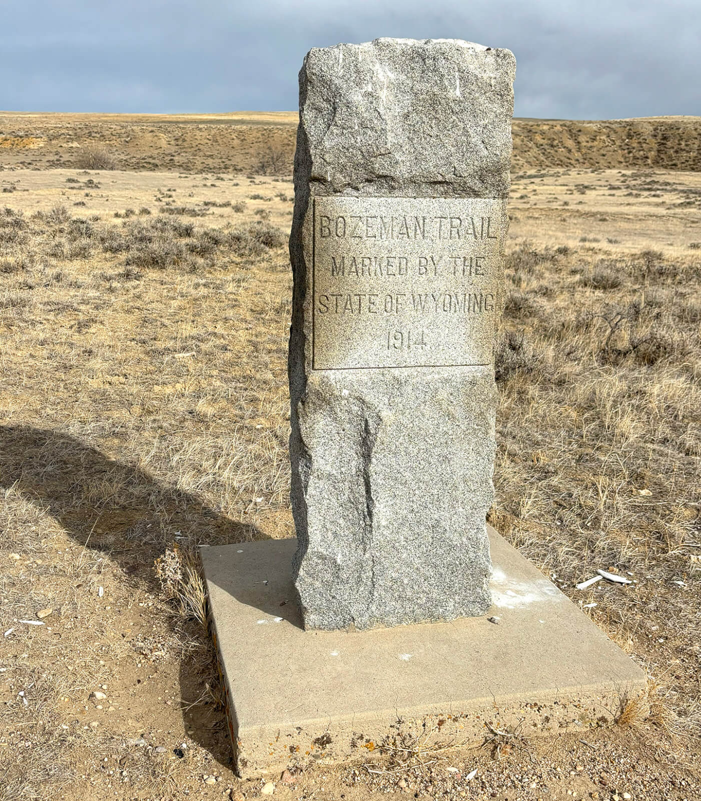
Follow the Path of early gold-seekers
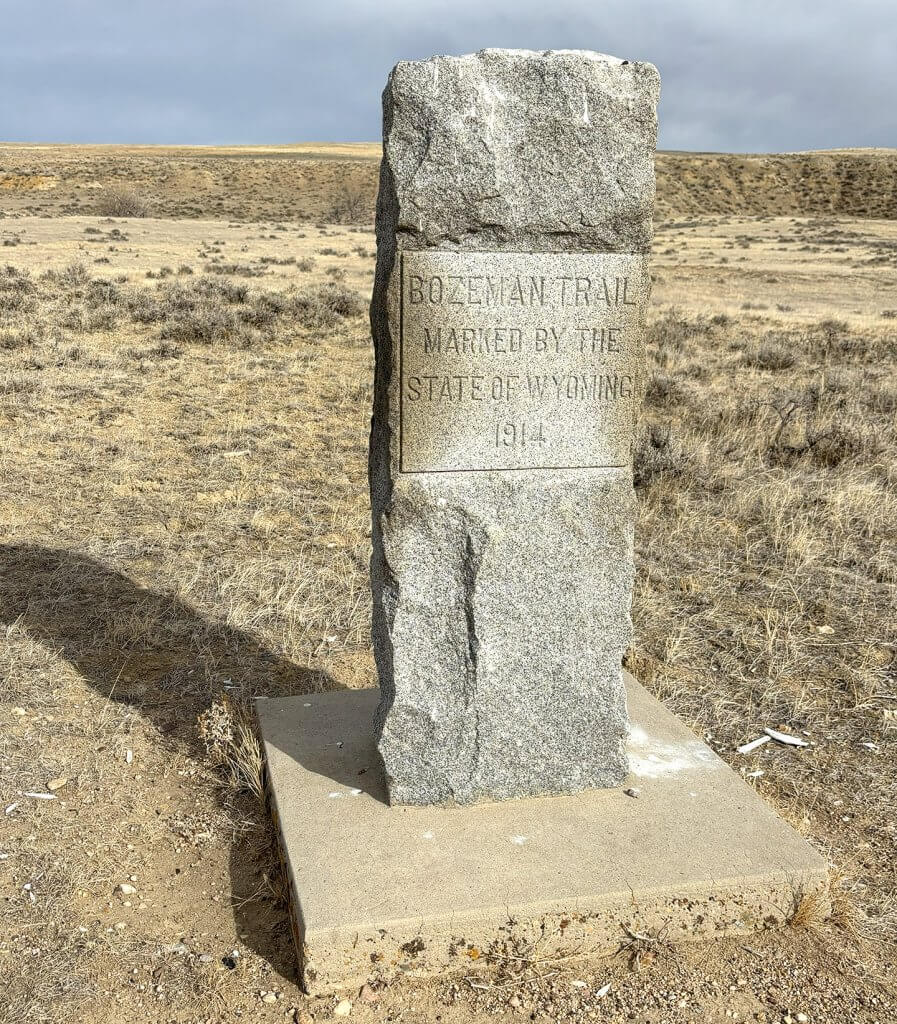
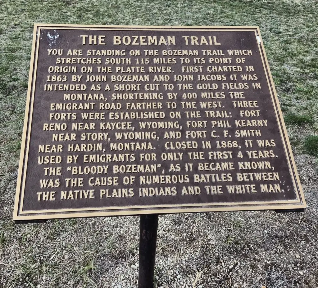
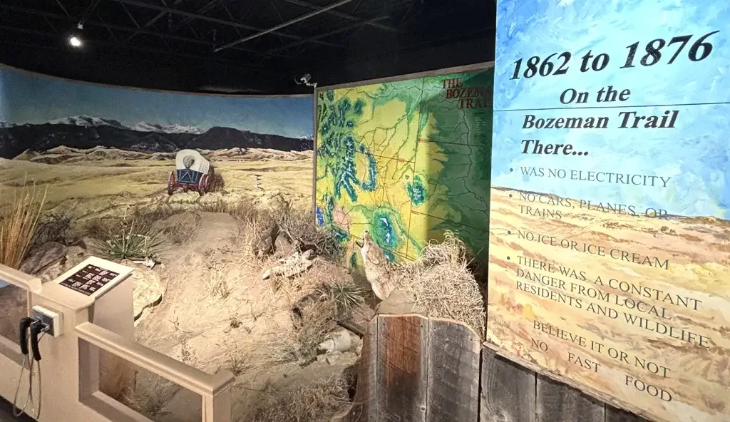
The discovery of gold in Montana Territory in the 1860s created demand for a route from the Oregon Trail in southeastern Wyoming to Virginia City in south central Montana.
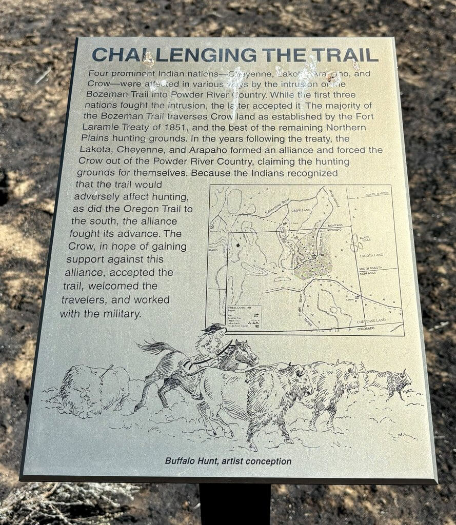
John Bozeman and John Jacobs scouted the route in 1863, using many of the same trails of Native Americans.
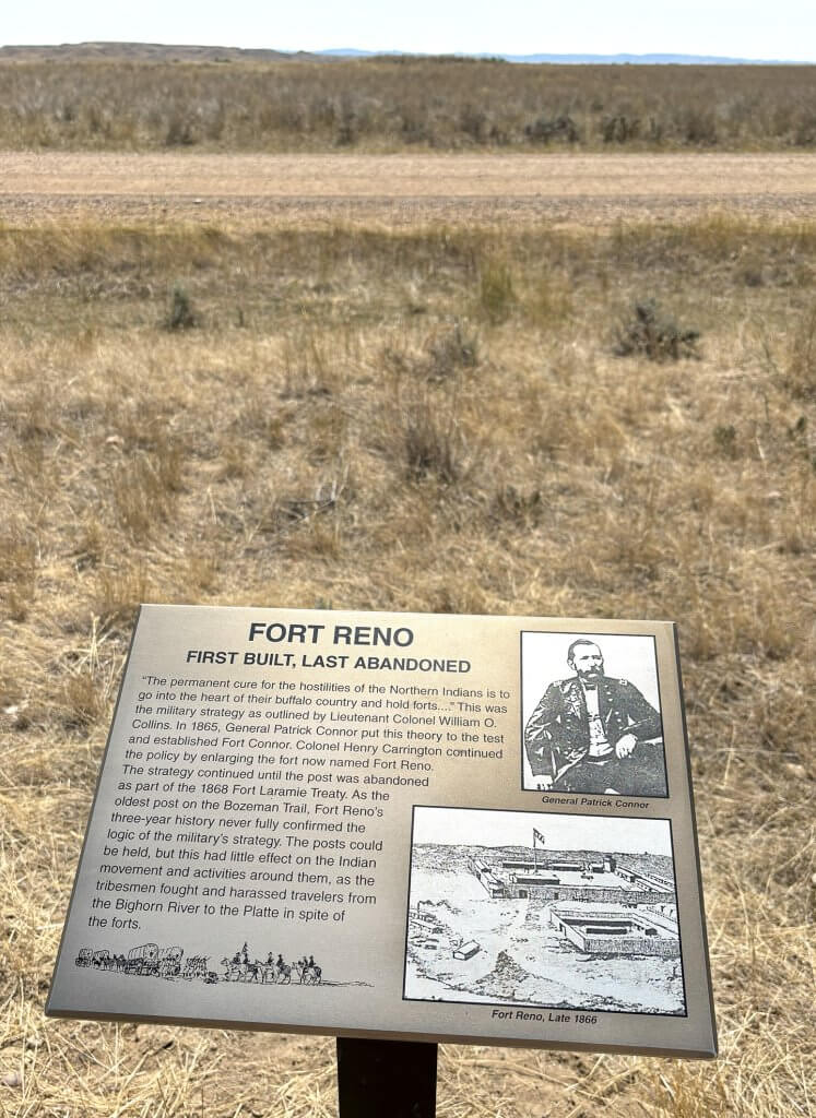
In north central Wyoming, in what is now Johnson County, the Bozeman Trail crossed the Powder River and worked its way through the Powder River Basin toward the foothills of the Bighorn Mountains. The trail was most active from 1864 to 1868, and the U.S. military erected Fort Reno along the Powder River and Fort Phil Kearny along the Little Piney Creek. A third post, Fort C.F. Smith, was built in Montana along the Bighorn River.
The trail was used by an estimated 3,500 emigrants, and there were 40 to 50 deaths attributed to skirmishes with Native American warriors. Some of the more well-known incidents took place in Johnson County: the Townsend Wagon Train Fight and the Crazy Woman Battle.
The trail is called “one of the most violent, contentious and ultimately failed experiments in American frontier history.”
The forts along the trail were abandoned in 1868, following the Fort Laramie Treaty of 1868, as the U.S. recognized the Powder River Basin as Native hunting territory.
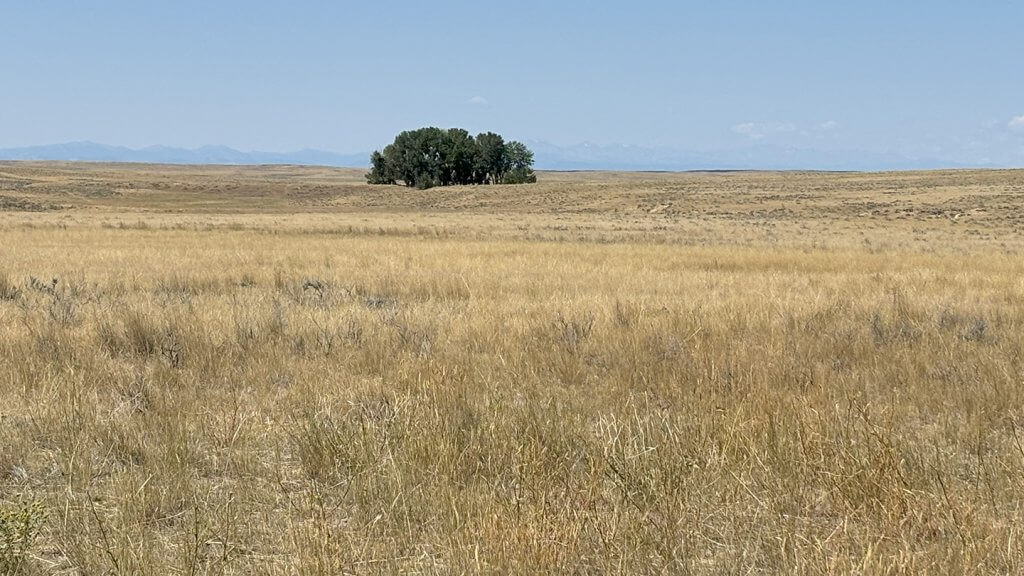
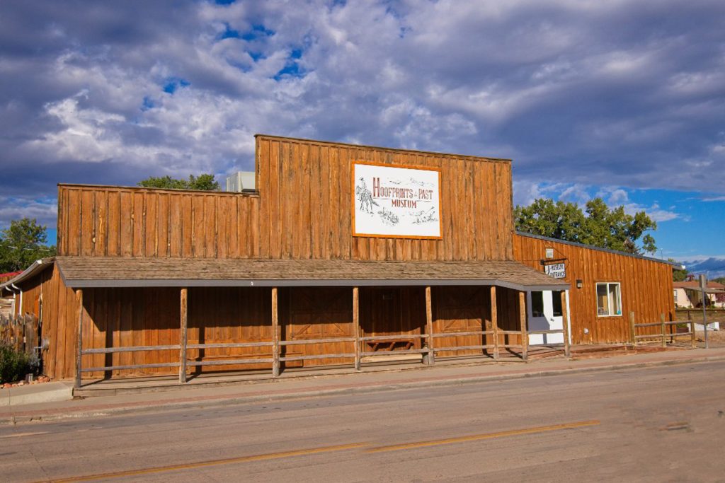
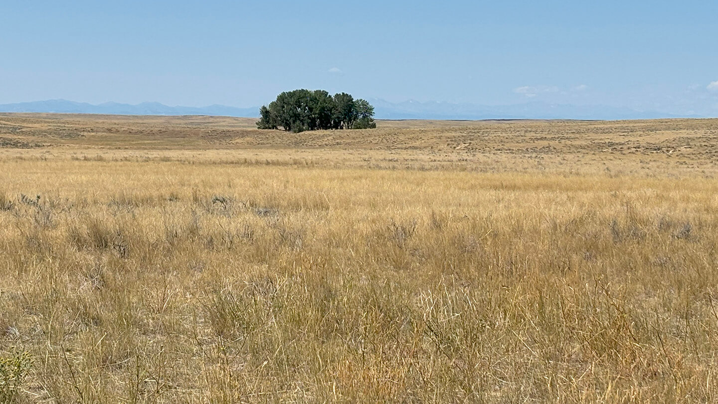
For modern travelers, Kaycee’s Hoofprints of the Past Museum is a great starting point before heading east to the Fort Reno site. From there, the drive toward Buffalo on Nine Mile Road, Irigaray Road and Trabing Road takes visitors through a landscape largely unchanged from the 1860s, giving the sense of frontier-era isolation while traveling toward but not into the looming mountains.
Traveling The Bozeman Trail Today
The distance from Kaycee to the site of Fort Reno is about 27 miles, and the distance from Fort Reno to Buffalo along the Bozeman Trail is 50 miles. Travelers should be aware there is no bathrooms or service stations in this portion of the county, and cellular phone service may not work.
Visitors should also be respectful of private land ownership in this area. This area is a mix of working ranches and public lands. Please do not venture off the road onto private land.
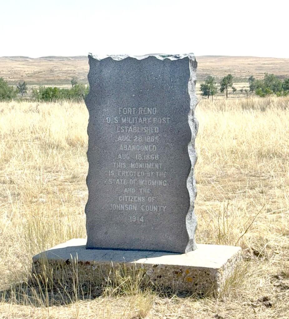
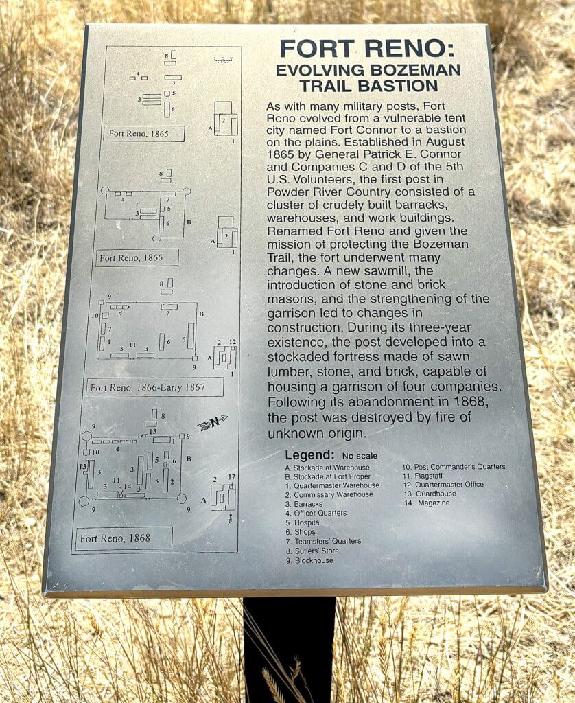
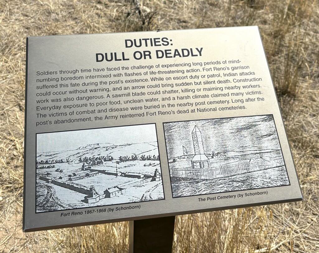
Fort Reno
Established on August 15, 1865, as Fort Connor by General Patrick Connor, this was the first post built to protect travelers on the Bozeman Trail. The fort was renamed in November of 1865 to honor Major General Jesse Lee Reno, who had died from his injuries sustained in a Civil War battle in 1862.
The fort was abandoned on August 18, 1868, following the Fort Laramie Treaty, but the grounds were used again in March of 1876 by members of the Big Horn Expedition led by Brigadier General George Crook. The Fort Reno Skirmish, a one-hour night-time engagement between infantry soldiers and either Sioux or Cheyenne warriors, took place on March 5.
Location: 43.8275, -106.24
Cantonment Reno
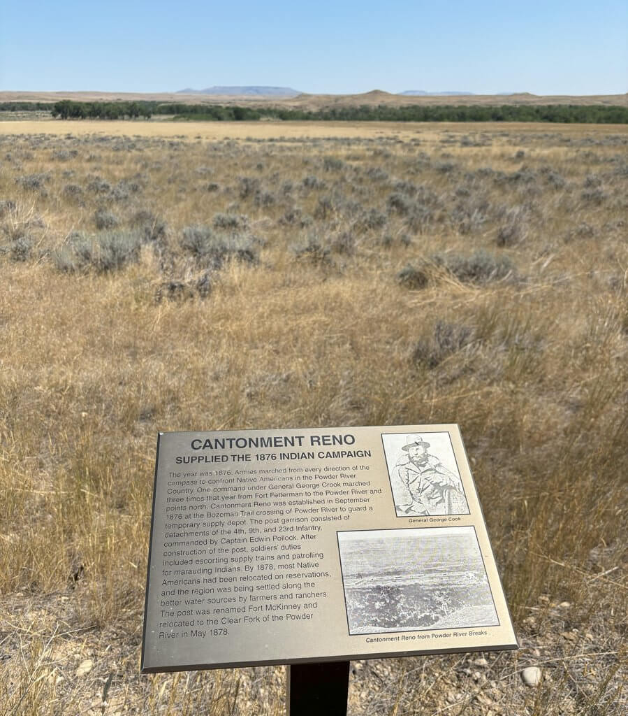
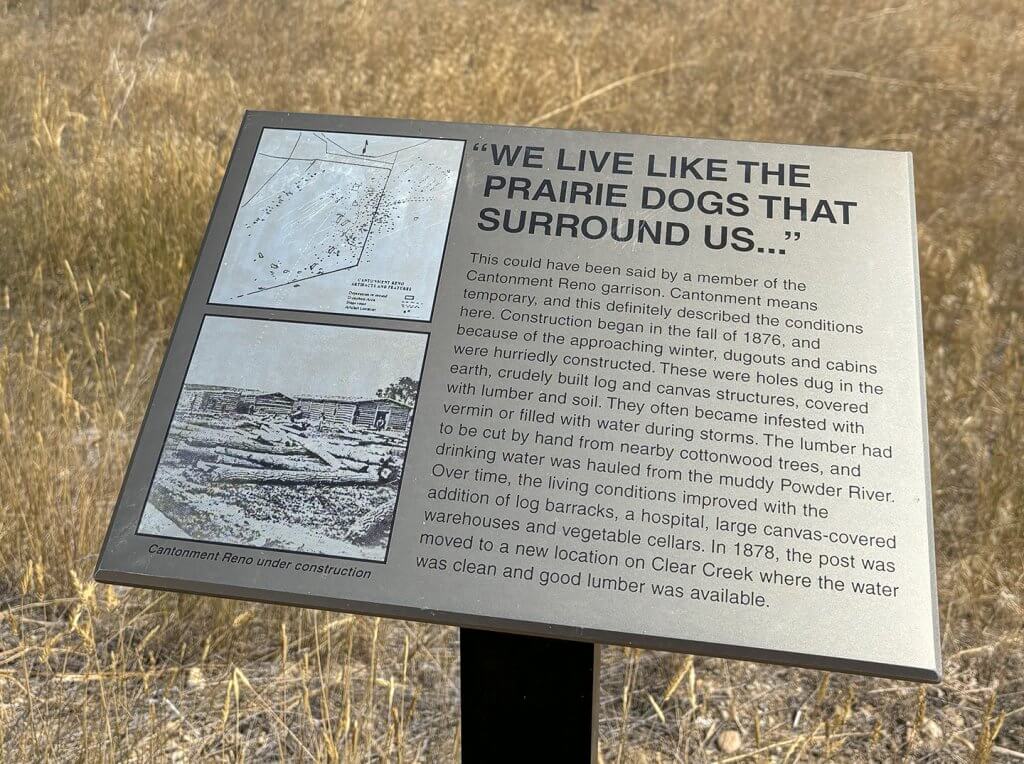
This supply depot was built in the fall of 1876 to help support U.S. military efforts in the continuing Indian Campaign in the Powder River territory. Hastily constructed before winter, it was an assortment of dugouts and log cabins.
In 1878, the depot was renamed Fort McKinney and relocated to a more suitable spot along the Clear Creek near what became Buffalo.
Location: 43.78216, -106.26809
Nine Mile Creek
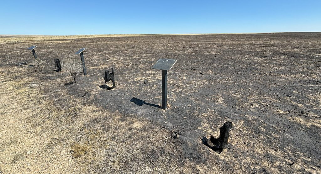
Nine Mile Road follows a portion of the Bozeman Trail route from the area of Fort Reno and Sussex toward the Bighorn Mountains.
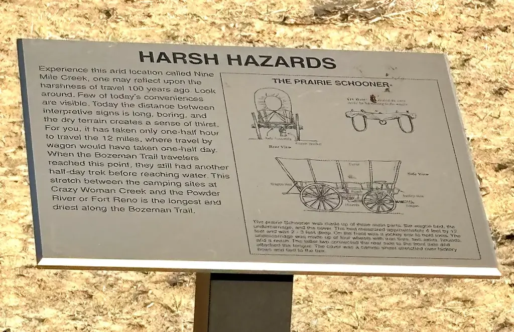
While the area of the historic markers is called Nine Mile Creek, the signage indicates how difficult travel along the Bozeman Trail was, with a full day required to get from the Powder River to Crazy Woman Creek. This stretch between the camping sites was the “longest and driest along the Bozeman Trail.”
Location: 43.89451, -106.34627
Powder River Basin
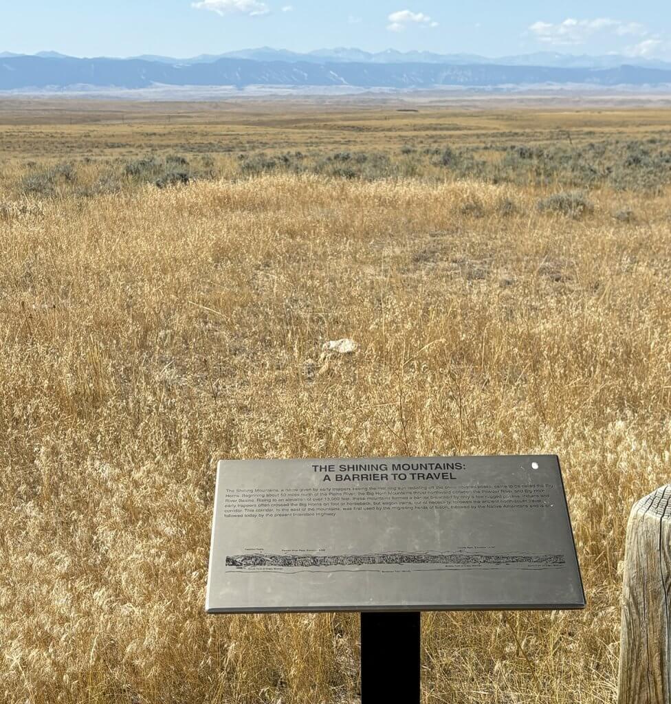
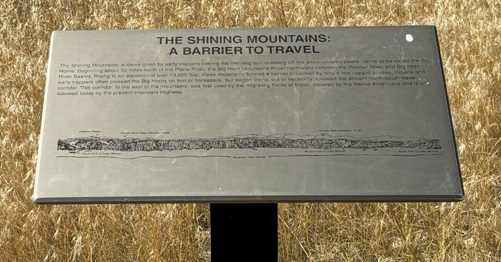
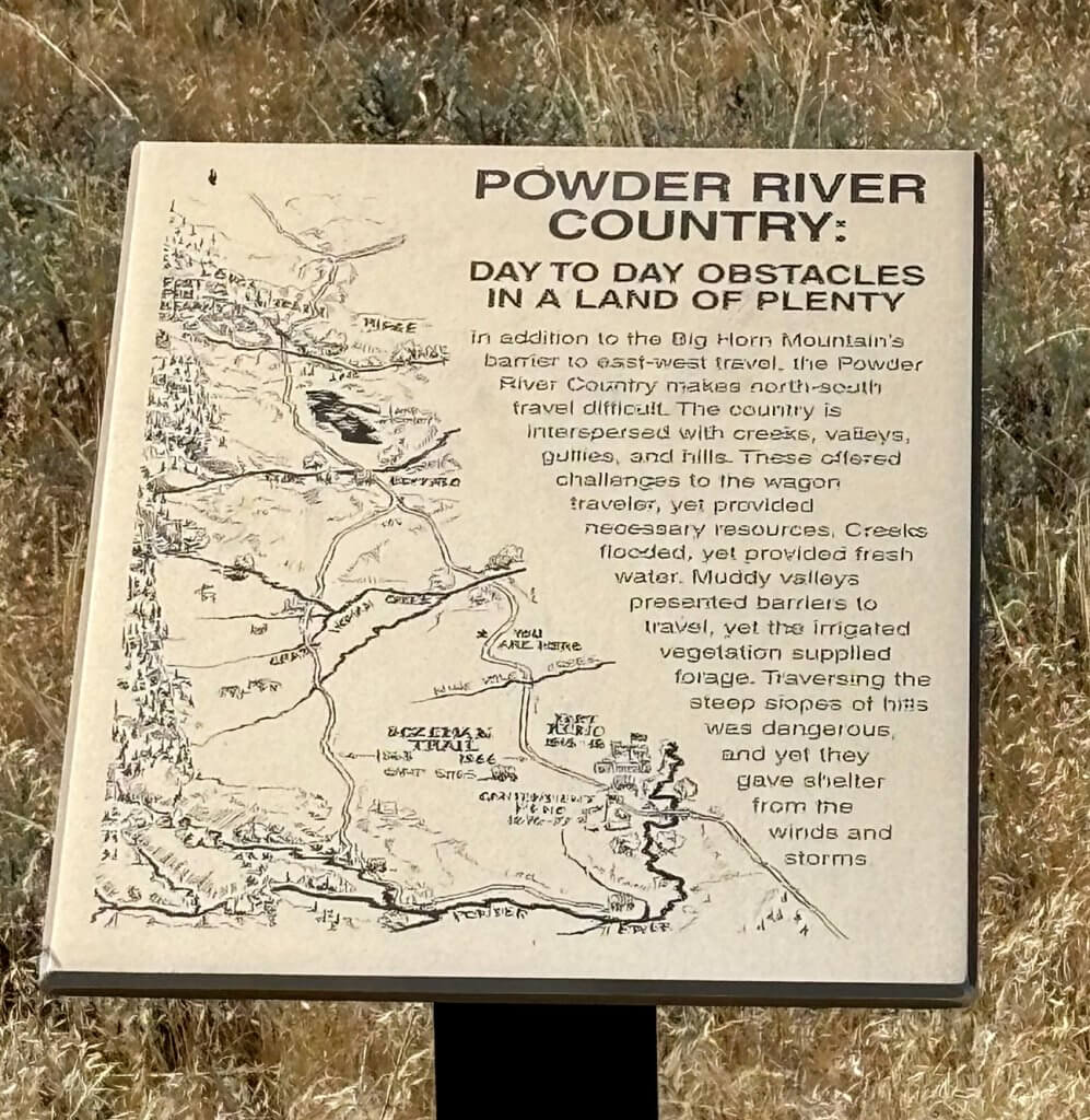
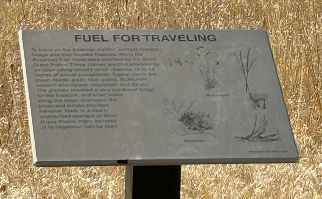
Interpretive signs in this area talk about the challenge that the Bighorn Mountains presented for travelers, forcing wagon trains to travel north and south. And even that wasn’t easy with creeks, valleys, gullies and hills to navigate.
Location: 44.04263, -106.47318
Crazy Woman Battle
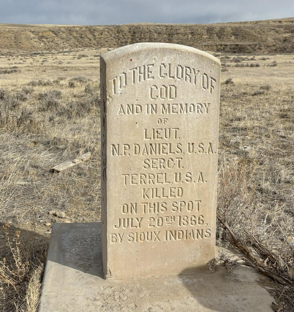
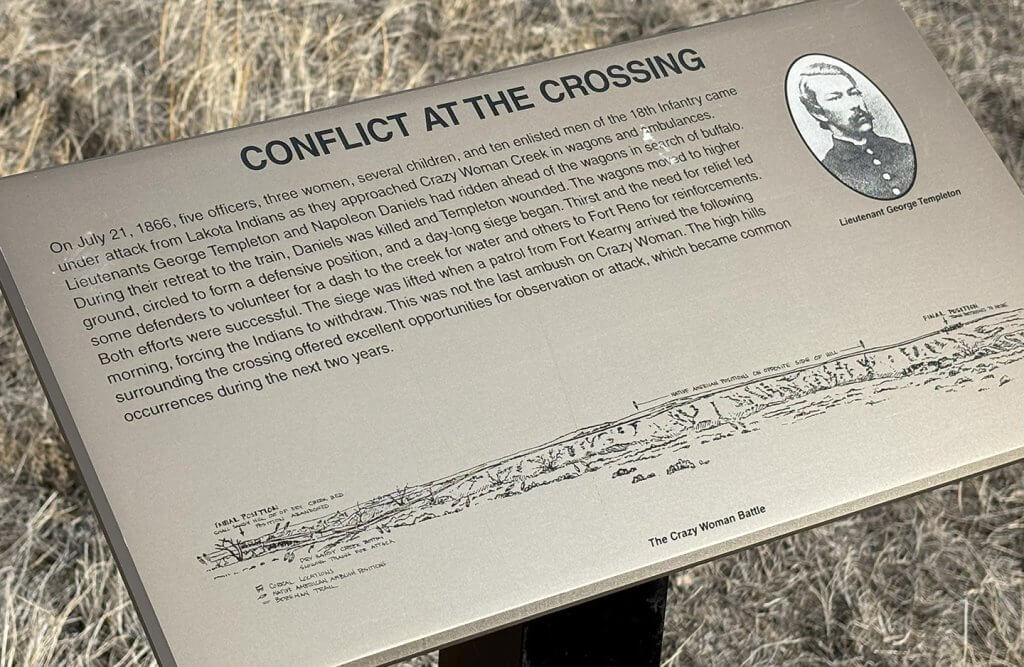
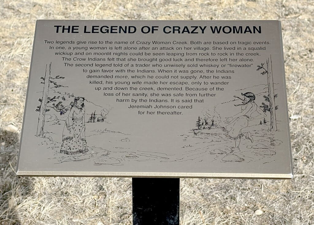
The crossing at Crazy Woman Creek, surrounded by high hills, was ripe for attacks on Bozeman Trail travelers. In July of 1866, a group with officers, enlisted men and some women and children headed from Fort Reno to Fort Phil Kearny came under attack from Lakota warriors. The result was a day-long siege and two fatally wounded Army officers before a patrol from Fort Phil Kearny arrived the following day.
Location: 44.08405, -106.52418
Address: 1480 Buffalo Sussex Cutoff Road
Buffalo
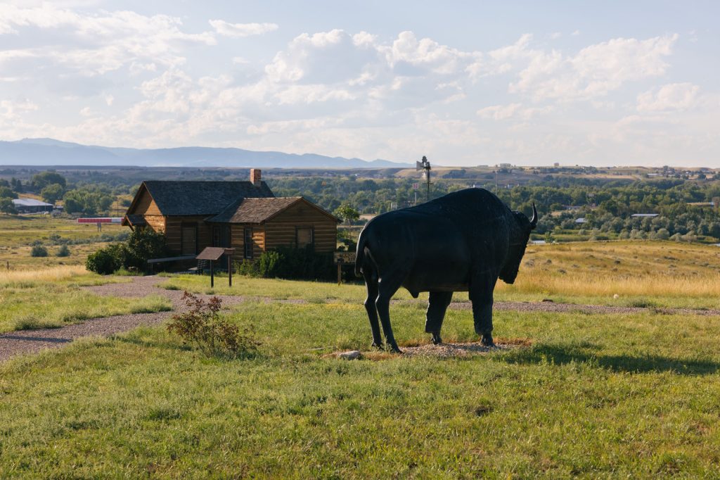
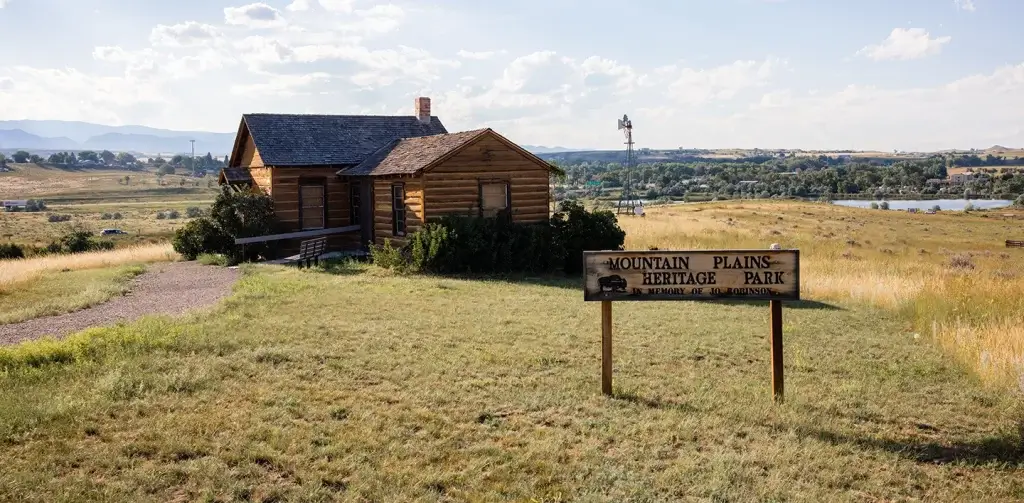
Mountain Plains Heritage Park
The Mountain Plains Heritage Park on Stockyard Road just east of Interstate 25 allows visitors to walk in the footsteps of those who traveled the Bozeman Trail.
Address: Stockyard Road, Buffalo WY 82834
Location: 44.34381, -106.67768
Bozeman Trail Steakhouse
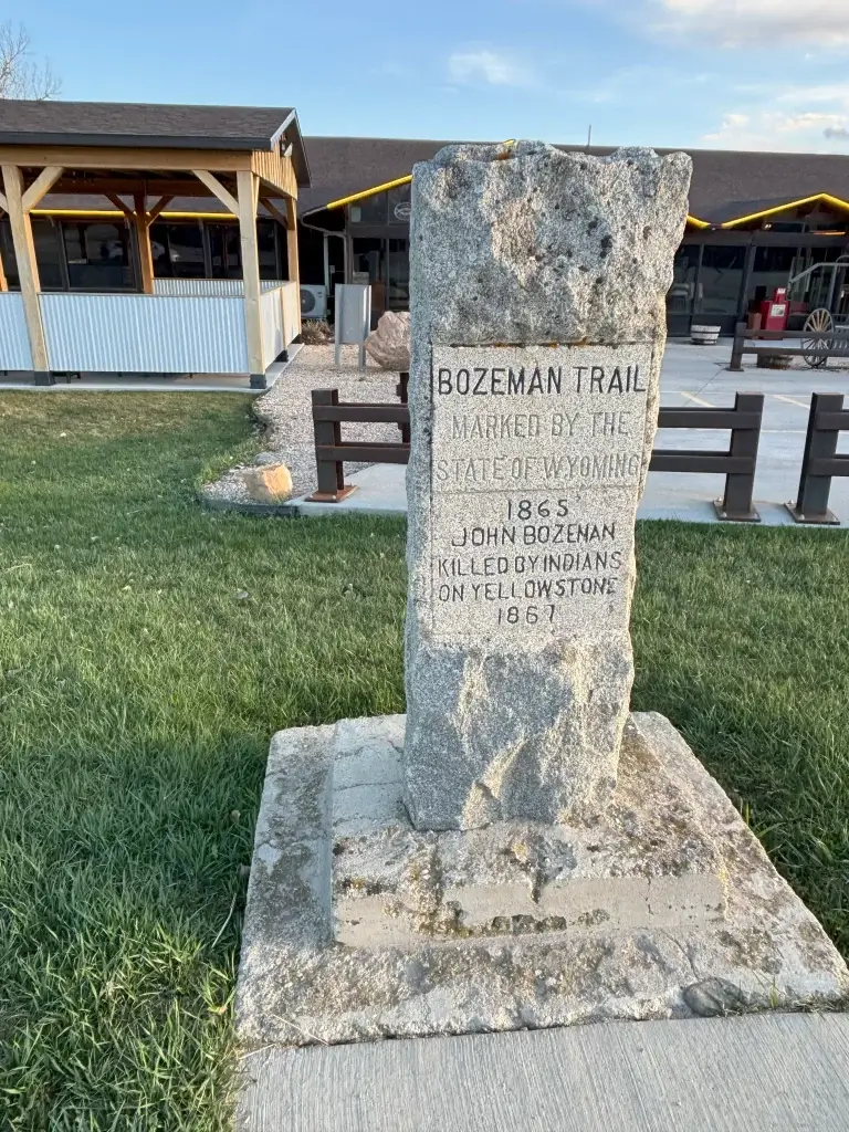
A marker in front of the aptly named Bozeman Trail Steakhouse gives guests an additional photo opportunity to commemorate their journey along the trail. And it’s a fine stop for a meal.
Address: 675 E. Hart St., Buffalo WY 82834
Jim Gatchell Memorial Museum
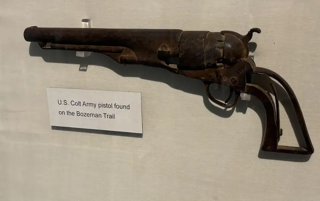
The Jim Gatchell Memorial Museum in downtown Buffalo is off the path of the Bozeman Trail, but it has several artifacts from the trail and an exhibit related to it. The museum also has collections related to the Johnson County War, Native American presence in the region, early Buffalo history, and much more.
Address: 100 Fort Street, Buffalo WY 82834
Fort Phil Kearny
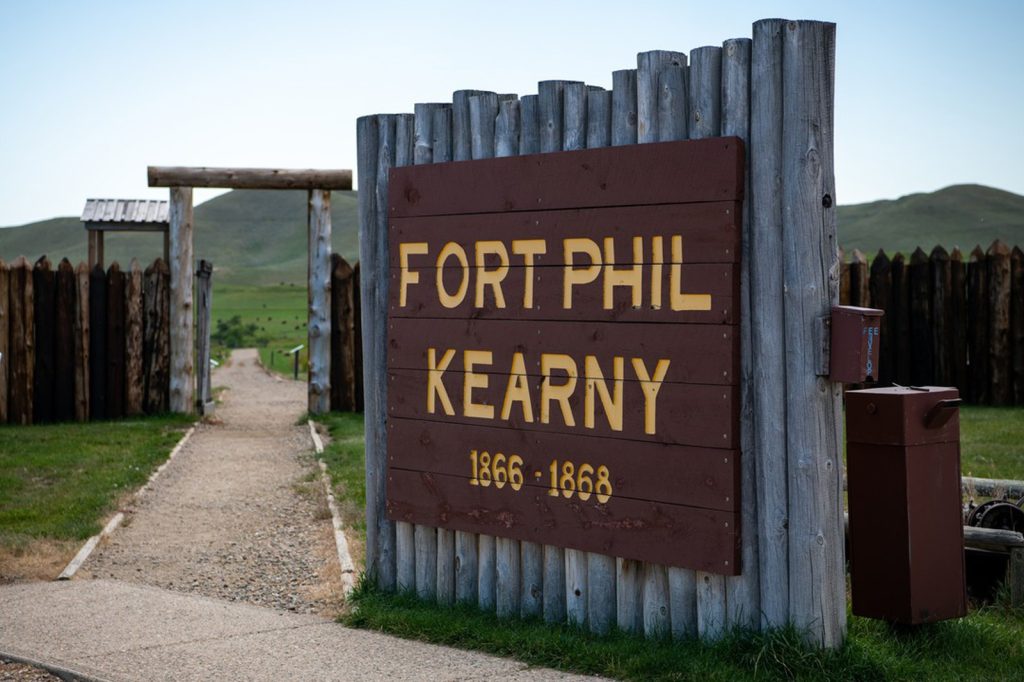
Built as the largest stockaded fort in the West when it was constructed in the summer of 1866, Fort Phil Kearny served as a post protecting travelers on the Bozeman Trail for two years. The fort was abandoned following the 1868 Treaty of Fort Laramie, and was soon after burned to the ground by Indians.
Now a state historic site, the fort interprets the story of the soldiers and civilians who occupied the fort as well as the Native American tribes that lived in the area. The fort is the starting point for visits to related sites where battles took place in Red Cloud’s War — the Fetterman Fight in December of 1866 and the Wagon Box Fight in August of 1867.
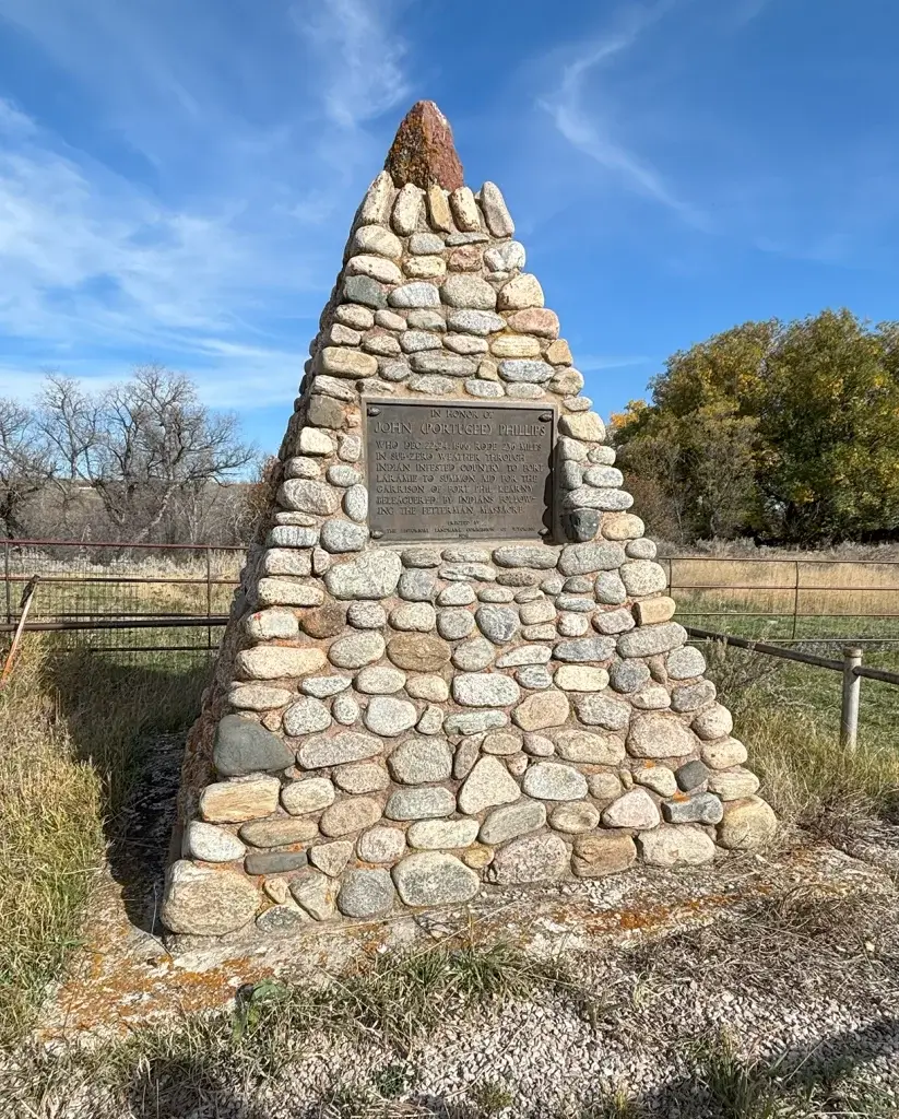
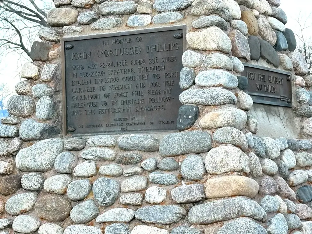
A nearby marker also honors John “Portugee” Phillips, who rode his horse 236 miles from Fort Phil Kearny to Fort Laramie to deliver the news of the massacre.
Address: 528 Wagon Box Road, Banner WY 82832
Other Resources
Hoofprints of the Past Museum
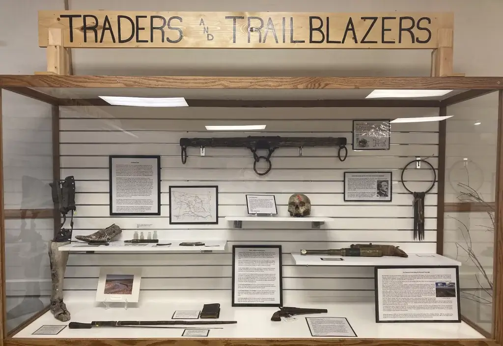
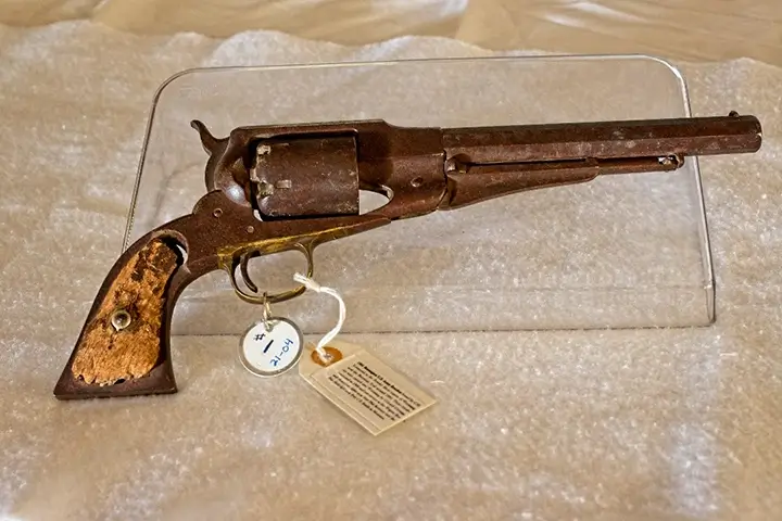
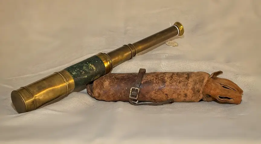
This museum in downtown Kaycee has several items from archaeological digs at Fort Reno and Contanment Reno, as well as items left by travelers along the Bozeman Trail. The Hoofprints of the Past Museum also has items related to Native American history, the Johnson County War, and much more.
Address: 344 Nolan Ave., Kaycee WY 82639
Fort Phil Kearny/Bozeman Trail Association
This organization offers programs related to the trail and Fort Phil Kearny, and it offers a website with plenty of information and videos about the trail.
