Best Places to Hike: Trails Around Buffalo, WY
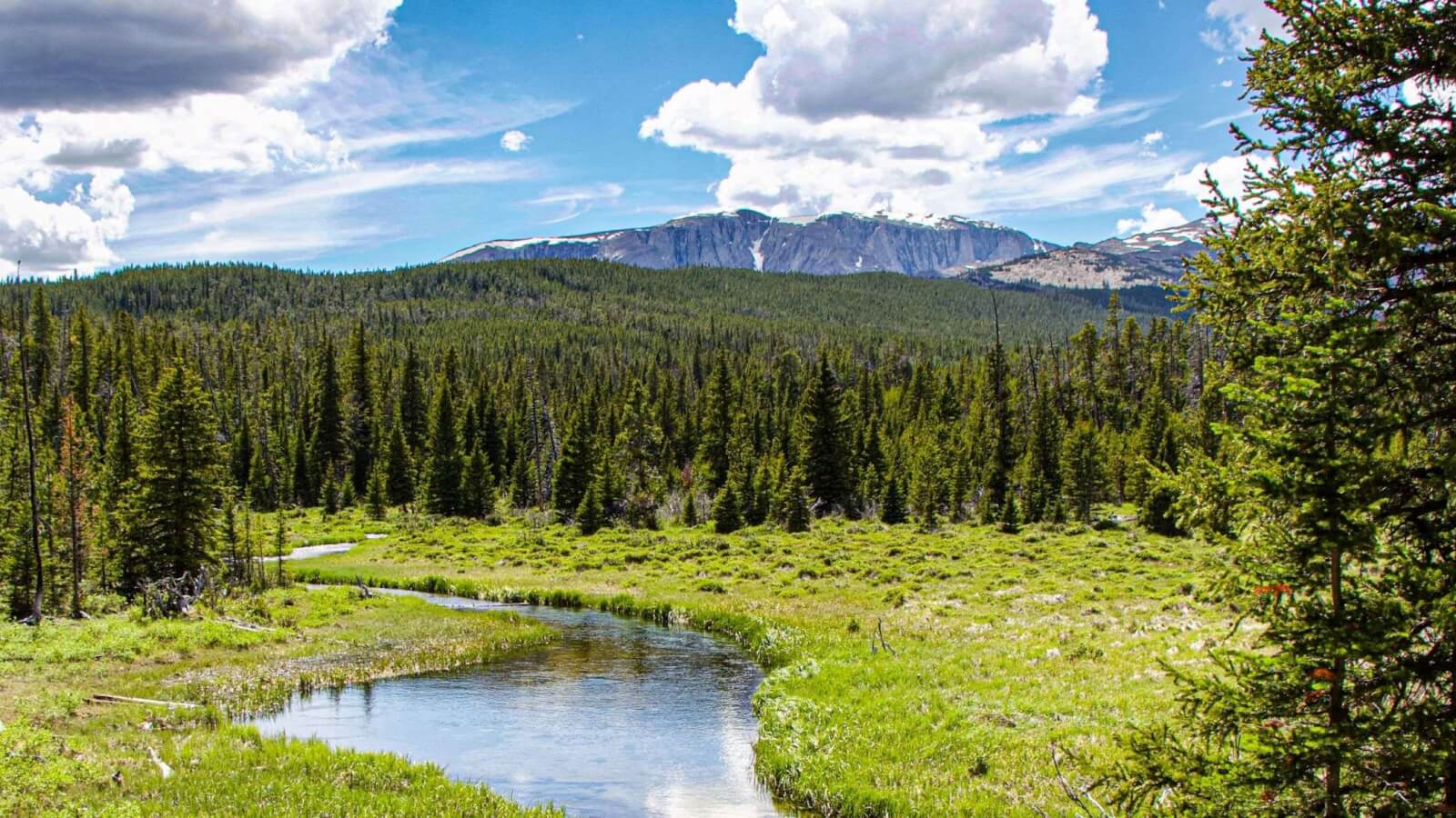
Looking for some of the best places to hike in Wyoming? Located in the heart of Johnson County, with the great Bighorn Mountains to the west and surrounded by vast, wide open spaces, Buffalo is an ideal destination for any outdoor enthusiast with its abundance in hiking and nature trails.
23 Must-Visit Hikes Near Buffalo, Wyoming
From the Clear Creek Trail System to the famed Cloud Peak Wilderness, discover some of the best places to hike in Buffalo, Wyoming for your next outdoor hiking adventure.
1. Clear Creek Trail System
Difficulty: Easy to Moderate
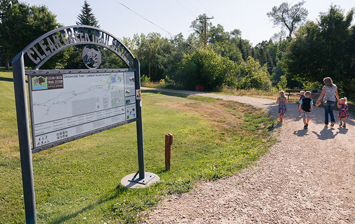
The Clear Creek Trail System is nearly 20 miles of hiking and nature trail segments that connect downtown Buffalo to the foothills of the Bighorn Mountains.
The hiking trail system includes easy, wide walking trails through the city parks and residential areas. But it also includes rustic nature trails with rocks and tree roots as it travels along the Clear Creek, and a more challenging uphill portion on the west end.
Visit this web page to download a map
The trail segments of the Clear Creek Trail system include:
Centennial TRAIL
The Centennial Trail, which travels along Clear Creek and connects hotels/motels and restaurants near the South Bypass Road to artisan row and historic downtown Buffalo, is an excellent hiking trail for families.
Washington Park Trail
Washington Park Trail, which winds through the City Park, is the home of Wyoming’s largest outdoor municipal swimming pool, making it one of the best nature trails for kids.
Greenbelt Trail
The popular Greenbelt Trail, a wide pathway that follows Clear Creek for just over a mile going west of downtown. Many species of birds and wildlife are evident along this gorgeous nature trail, which has great views of the creek and the foothills.
The Shiloh Trail connects residents on the west side of town to connect to the longer Greenbelt Trail.
Veterans Home Pasture Trail
Due to grazing cattle, dogs are not permitted on the Veterans Home Pasture Trail, but hikers will find their way to historic Fort McKinney, with historic buildings dating back to the 1870s.
Highway 16 Bike Path
The Highway 16 Bike Path, a paved segment along the highway, connects the Bureau of Land Management and Forest Service offices to the Old Power Plant Loop of the hiking trail system.
It serves as the connector segment from Veterans Lane to the western portions of the trail.
William J. Mentock Trail
Unlike the well-groomed hiking trails listed above, the William J. Mentock Trail, with its natural surface, is very popular with the more serious hikers and mountain bikers.
Features along this hiking trail include the castle-like Old Power Plant (constructed in 1914) and the Mosier Gulch Picnic Area, which is located about 4 miles from the parking area for the Old Power Plant Loop.
Grouse Mountain Trail
After hiking about 1.5 miles from Mosier Gulch on a two-track road, hikers can access the Grouse Mountain Trail, which offers stunning views of the Cloud Peak Wilderness Area and challenging switchback sections that are an enticement to hearty hikers and advanced mountain bikers.
The elevation difference from the creek to the top of the foothill is about 500 feet over the course of about 1.5 miles.
Joe’s Trail
Joe’s Trail offers a creekside experience and connects to the Mentock Trail east and west of the Mosier Gulch parking lot, making for a nice loop hike.
Ice Caves
Another fun hike in Buffalo, the Ice Caves – which should more appropriately be named the cool-air crevices due to the lack of ice and caves – consist of a jumble of boulders at the bottom of a rock slide into the creek.
It shows up on some maps as a feature, and is just a short side trek from where the Grouse Mountain Trail begins winding its way up the hillside.
2. Mountain Plains Heritage Park
Difficulty: Easy
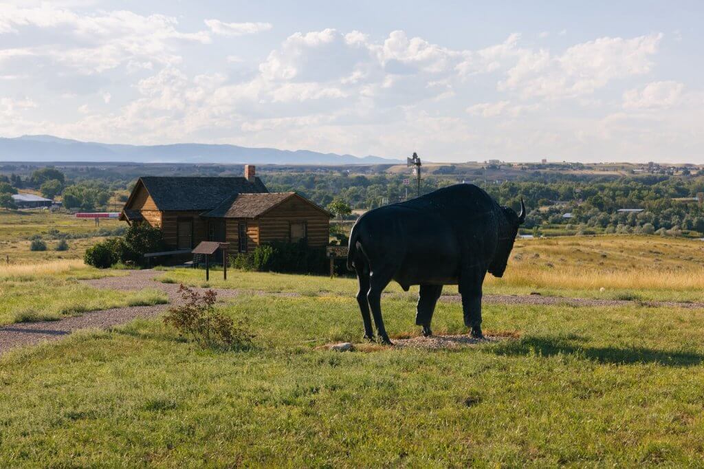
Located just east of Interstate 25 along Stockyard Road, the Mountain Plains Heritage Park Trail is a short standalone hiking trail system that crosses the Bozeman Trail.
The park has a pioneer home and Buffalo statue as well as the backdrop of the Bighorn Mountains making it a great place to take pictures. A great nature trail for kids, the trail system also features educational signs depicting life on the western plains, railroad history, and facts about bird species common to this area.
In addition to a loop on the south end of the park, the trail goes along Clear Creek on the north side.
3. Brush Creek Trail
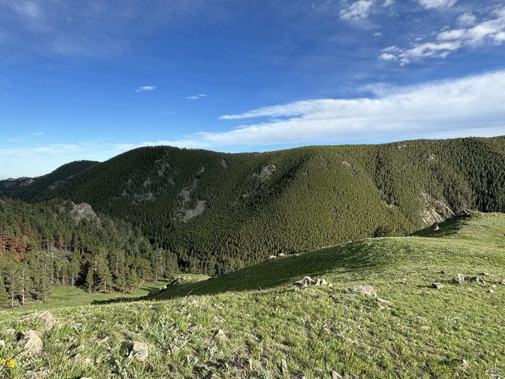
Difficulty: Moderate
Did you know it’s possible to hike from downtown Buffalo to the Brush Creek Trail if one so chooses? The connecting hiking trail is also called the Grouse Mountain Viewpoint Trail, and is accessible from a parking lot off Highway 16 near the Hospital Hill Interpretive Site. Look for signage on Highway 16 for the Grouse Mountain Trailhead.
This Buffalo hiking trail is an easier way to get to the top of the Grouse Mountain Trail. Hikers can park and walk about 1 mile east to the top of the Grouse Mountain Trail and take in the view of Buffalo.
The Brush Creek Trail splits to the south and meanders through a meadow before switch backing down to another part of Clear Creek. The distance for the Brush Creek Trail is 2.9 miles on the out-and-back, with a climb of about 375 feet from the creek back to the parking lot.
4. Circle Park Trailhead
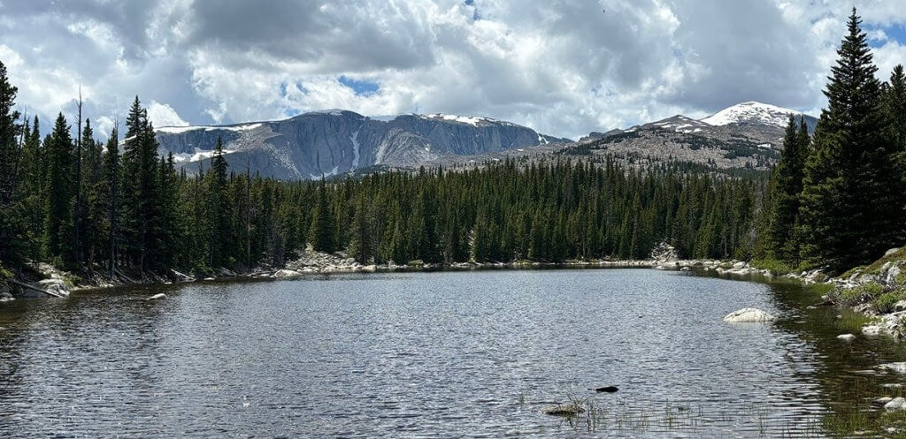
Difficulty: Moderate
Arguably the most popular hiking spot in the mountains of Johnson County, the Circle Park Trailhead in the Bighorn National Forest offers several moderate hiking trails. These nature trails offer varying lengths that can take hikers to several different alpine lakes.
Circle Park is one of the best stops for those interested in Wyoming hiking trails.
Sherd Lake Trail
Sherd Lake Trail is a 3.5-mile out-and-back trail to a large lake with a mountain backdrop.
The elevation gain is a little less than 700 feet over the 1.75 miles to the lake.
Long Lake Trail
Long Lake Trail is 5.6 miles, also an out-and-back hiking trail that has hikers cross a creek. Depending on the creek’s water levels, this can be a particularly challenging hike, so take special care and assist any who may need help crossing. Dogs are also welcome on this popular hiking trail.
The best times to visit the Long Lake Trail are late spring to early fall. The elevation gain is a little less than 800 feet over the 2.75 miles to the lake.
Rainy Lake Trail
Rainy Lake Trail, like the first two trails, passes Sherd Lake. This hiking trail covers 6.3 miles as an out-and-back with an elevation gain of more than 1,200 feet to 9,400 feet near the lake.
Willow Lake Trail
A hiking trail with a view, the Willow Lake Trail passes both Sherd and Rainy lakes before reaching the overlook of WIllow Lake. It has a high point of nearly 9,600 feet along its 8.2-mile route.
Old Crow Lake Trail
Old Crow Lake Trail splits off early from the other trails and covers 9.5 miles with a 1,200-foot elevation gain, making it a moderate hiking trail. This hike can take some time to complete, so it is recommended to plan accordingly.
Circle Park Loop
See 5 lakes in one hike! Circle Park Loop is a 9.4 mile lollipop loop connecting at Sherd Lake. Using trails 095 and 046, the loop crosses Duck Creek a couple of times and passes close by a trail to Trigger Lake (a popular fishing spot in Buffalo), Her Lake, Old Crow Lake, Otter Lake and Rainy Lake.
5. Poison Creek
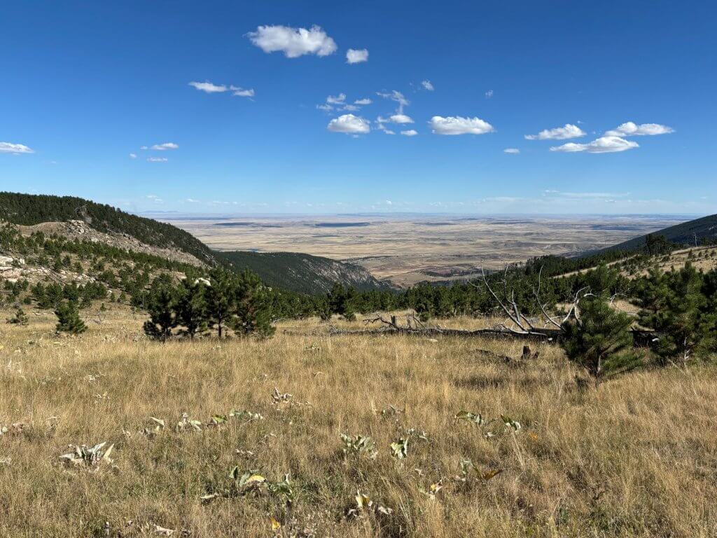
Difficulty: Moderate
The 2-mile long Poison Creek Trail ambles through mountain meadows before descending steeply to Poison Creek. The first part of the hiking trail provides spectacular views of the Bighorn Mountains to the northwest and the Powder River Valley below to the southeast.
Hikers who make it to the end are rewarded with a beautiful and secluded spot along the Poison Creek. Backcountry camping is allowed in the Bureau of Land Management recreation area.
6. Firebox Park (via Bud Love Wildlife Habitat Management Area)
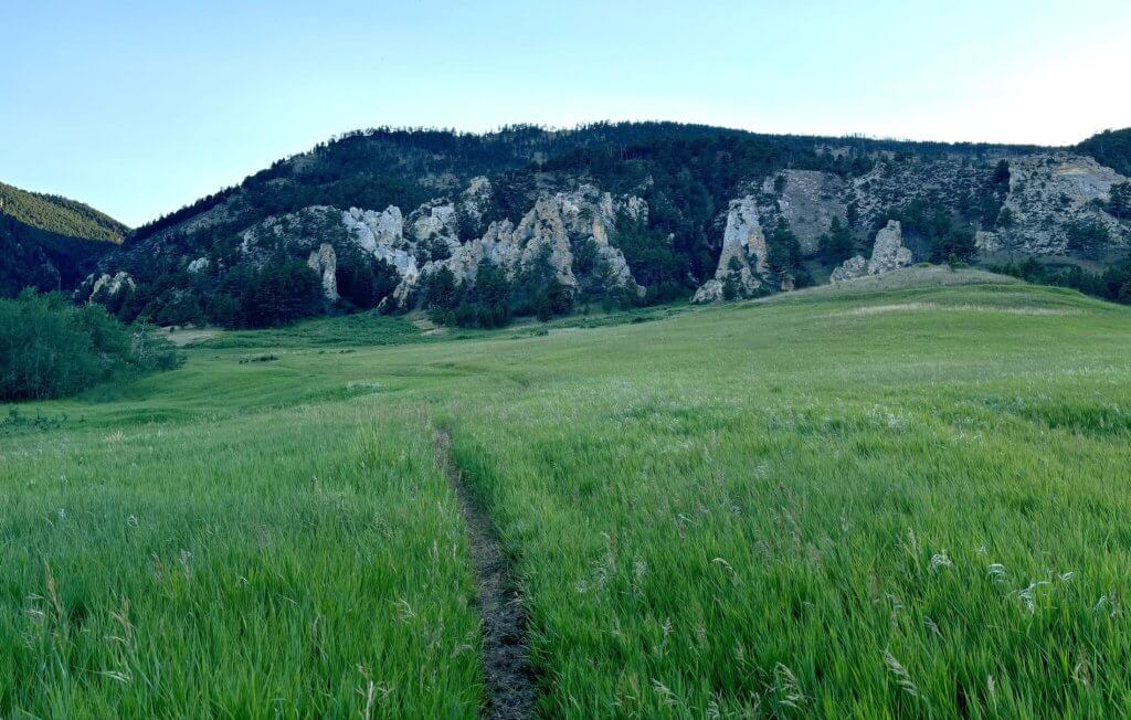
Difficulty: Moderate
Explore this 5.9-mile out-and-back trail from the Bud Love Wildlife Habitat Management Area northwest of Buffalo, Wyoming.
Generally considered one of Buffalo’s moderately challenging hiking trails, it takes an average of 3.5 hours to complete. The hiking trail includes an elevation gain of 1,748 feet, mostly in the first 3 miles. In addition to the early inclines, there are a few stream crossings of the North Sayles Creek.
7. South Rock Creek Trail
Difficulty: Challenging
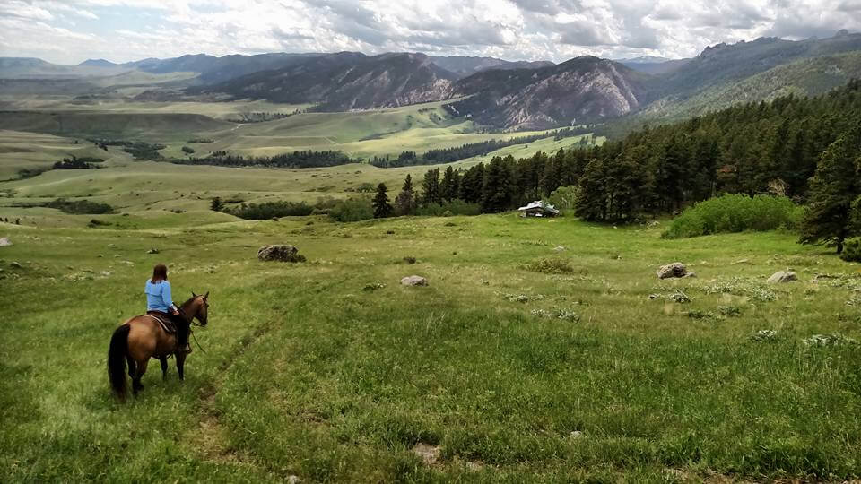
This out-and-back hiking trail from the HF Bar Ranch can cover up to 16.2 miles just one way, with an elevation gain of 4,580 feet. The trail is open year-round for visitors and offers a range of scenic experiences throughout all seasons.
Trailhead access is granted through an easement at HF Bar Ranch, at the end of Rock Creek Road, with parking behind the barn behind a green gate on the left.
The trail is marked with signs placed by the ranch.
In addition to a canyon for the namesake creek, the trail connects to Firebox Park and other trails in the area.
8. Lake Angeline
Difficulty: Challenging
For the serious hikers, this 12.6-mile out-and-back trail in the Bighorn National Forest near Buffalo, Wyoming is one of many challenging hikes into the mountains, but well worth the effort.
Starting at an elevation of 8,051 feet, this trail climbs more than 2,500 feet up to Lake Angeline over the first 6.3 miles. It takes an average of 6 hours 22 minutes to complete.
Bring plenty of water and some food to fuel the body over this rocky trail. Fishing opportunities await in the lake at the end with cutthroat trout enjoying the chill of this alpine lake.
9. Seven Brothers Lakes
Difficulty: Challenging
The Bighorn Mountains hold dozens of alpine lakes, and this hiking trail offers the chance to see seven of those for those willing to make the challenging journey.
The out-and-back trail covers about 11 miles but it can be accessed from Hunter Corral Campground, Soldier Park Trail or Forest System Road 391. It is a challenging hike, climbing to more than 9,500 feet.
10. Florence Pass & Florence Lake
Difficulty: Challenging
The Florence Pass is at the top end of the challenging scale for the Bighorn Mountains out of Johnson County. This trail is 25 miles out-and-back but can also be used as the more difficult route to the high peaks of Bomber Mountain (12,451 feet) and Cloud Peak (13,180 feet).
Florence Pass is located at 10,919 feet above sea level. Soldier Park Road to get to the trailhead is very rocky and narrow in some places, so an ATV or 4×4 is recommended. The hiking trail itself begins with a forested, rocky area offering some canyon views. There are multiple creek crossings, an open meadow, and a rocky final ascent to the lake.
A long day hike in Buffalo, this trail includes passing by a couple of grave markers – one for Pierre Garde, a Frenchman in a surveying party who accidentally shot himself while cleaning his gun in 1877; and one for Carl Johnson, a Swedish lumberjack who died of natural causes in 1922.
Bomber Mountain, north of Florence Lake, has a memorial for the 10 U.S. servicemen who died in 1943 when their B-17 bomber crashed in the Bighorns.
11. Ant Hill
Difficulty: Challenging
Starting at the Hunter Trailhead, this hiking trail begins along the same route as Florence Pass but can be either a 5.3-mile loop as part of that trail or a longer out-and-back hike.
Known as a hiking trail with gorgeous views, the highlight of the loop around Ant Hill is Elk Lake, which sits in a depression and offers stunning views of the mountains including Cloud Peak.
12. Pole Creek Nordic Ski Trail
Difficulty: Easy to Moderate
With plenty of parking right along Highway 16, the Pole Creek Nordic Ski Area offers 11 miles of hiking trails that can be hiked in the summer and traveled by ski or snowshoe in the winter.
The trails are not very hilly and offer options from a short 3.1-mile loop to longer hikes.
13. Tie Hack RESERVOIR Trails
Difficulty: Easy to Moderate
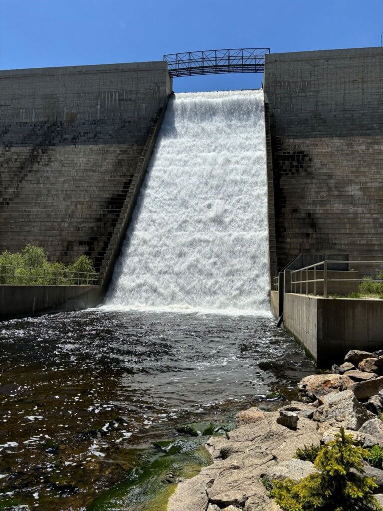
Another popular spot in Buffalo, the trails surrounding Tie Hack Reservoir in the Bighorns connect various campgrounds, including the South Fork Campground off Highway 16. That 3.4-mile loop trail or 2.2-mile creekside trails are considered easy routes.
A trail at the east end of the reservoir allows hikers to travel down to the base of the dam and along South Clear Creek.
14. Dry Creek Petrified Tree Environmental Education Area
Difficulty: Easy
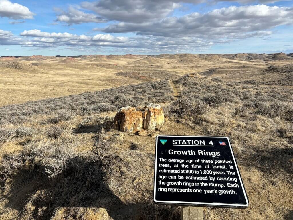
A short and easy hike that’s great for kids, this Buffalo trail is less than 1 mile long. Sitting on Bureau of Land Management property off Tipperary Road east of Buffalo, this hike offers a completely different landscape from the Bighorn Mountains.
There are buttes in the area but few trees in a wide-open landscape. The official trail features signage about the petrified trees that stood tall in this area 60 million years ago. There is additional BLM land for exploring to the west of the educational area.
A shelter with picnic tables and vault toilets are available. Backcountry camping is allowed in the recreation area, outside of the fenced-in trail and picnic area.
15. Fort Phil Kearny & Pilot Knob
Difficulty: Easy to Moderate
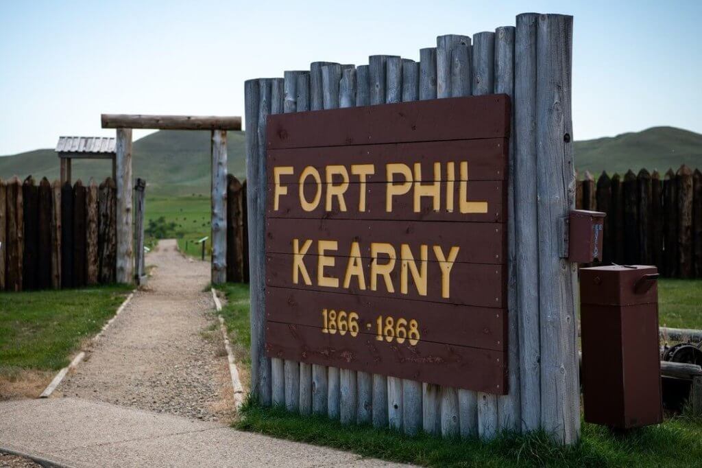
Fort Phil Kearny State Historic Site stands on the 17 acres of what was the largest stockaded fort in the West from 1866 to 1868. But it was burned down by the Northern Cheyenne not long after the U.S. military abandoned the fort.
While the fort itself is not technically a hike, a walking path allows visitors to roam the grounds of the former fort.
Hikers may also cross the Piney Creek to the south of the fort and walk to the Post Cemetery and up to the top of Pilot Knob. At the top, a metal sculpture holds a flag, showing how the scouts would have alerted the fort to travelers on the Bozeman Trail or trouble for the wagon trains gathering wood.
Hiking to the top of Pilot Knob is about 3 miles round trip from the interpretive center and climbs about 400 feet. The fort hosts a few programs per year that include hiking to the cemetery or the top of Pilot Knob.
16. Outlaw Cave Trail
Difficulty: Moderate to Challenging
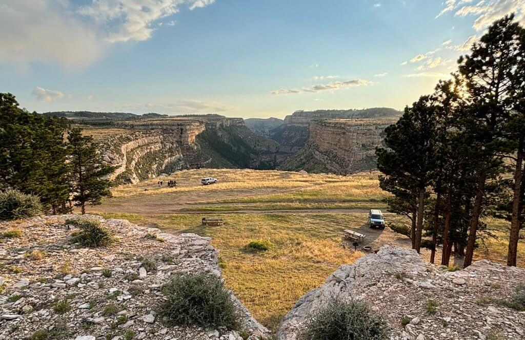
The Outlaw Cave Trail begins at the Outlaw Cave Campground and provides access to the Middle Fork Powder River Recreation Area. The trail is just one-half mile but descends steeply into Middle Fork Canyon, dropping nearly 500 feet in elevation before intersecting the river just opposite the infamous Outlaw Cave. There is no bridge across the river; please use caution if attempting to cross.
Of course, the return trip is all uphill, and there is loose rock to navigate on the trail.
The Bureau of Land Management recommends hikers do not venture out into these areas during periods of inclement weather. Outlaw Cave Road is closed to motorized use during the winter from January 1 through April 14.
The campground is located about 25 miles southwest of Kaycee, Wyoming, in a spectacularly scenic part of the state that is rich with the legend of Old West outlaw activity from the late 1800s. From the upper portion of the campground, above the canyon rim, a red-wall canyon is visible.
17. Hole in the Wall Foot Trail
Difficulty: Moderate to Challenging
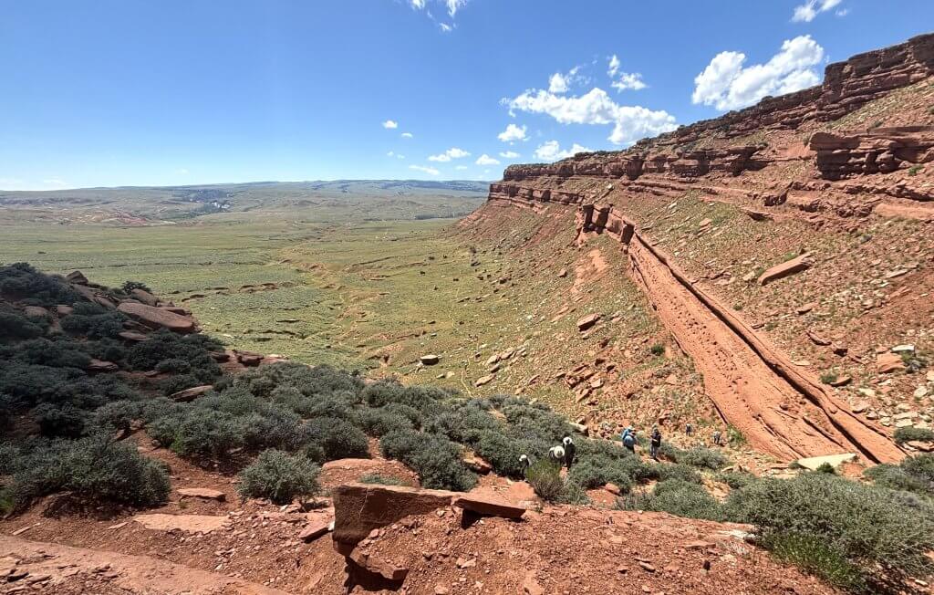
A famous hiking trail in Johnson County, the Hole-in-the-Wall is a colorful and scenic red sandstone escarpment that is rich in legend of outlaw activity from the late 1800s, most notably Butch Cassidy and the Wild Bunch Gang.
The “hole” is a gap in the Red Wall that, legend has it, was used secretly by outlaws to move horses and cattle from the area. Climb it yourself an imagine what that must have been like.
The area is primitive in nature, with no services. A 3-mile trail starts on state land and ends on Bureau of Land Management property at the Hole in the Wall. The climb to the top covers about 300 feet in a short distance with loose rock to navigate.
The hike is included as an option for those who take the Hoofprints of the Past Museum’s annual tour.
18. Gardner Mountain Trail
Difficulty: Easy
Gardner Mountain Trail is open to hikers and horseback riders, and backcountry camping is allowed in the recreation area. This nature trail ambles through a mountain meadow and then follows a ridgeline, providing a spectacular view of the Gardner Mountain Wilderness Study Area.
The trail mostly follows old two-tracks and then dips down below the ridge before coming back up.
Please note, the trail is not well-marked; be sure to carry a map and compass, and please respect private property boundary signs.
19. Rinehart Lakes
Difficulty: Moderate
Northwestern Johnson County is the heart of the Bighorn Mountains, making it difficult to access, but the Coffeen Park Trailhead is a great starting point for multiple hiking trails in the mountains.
The drive is about 90 minutes from Buffalo via Red Grade Road out of Big Horn, then Forest System Road 293 past Spear-O-Wigwam lodge. Some recommend 4-wheel drive with high clearance on FSR 293.
The Rinehart Lakes Trail is a short 1.4-mile out-and-back with a 500-foot elevation gain. Upper and Lower Rinehart lakes are stocked with trout on a rotating schedule, and fishing pressure is moderate due to the remoteness of the trailhead.
20. Highland Park/Lake Winnie
Difficulty: Challenging
Another popular hike from the Coffeen Park Trailhead travels to the southeast to Highland Park with a loop at the end for Lake Winnie. This round trip covers 14.1 miles with an elevation gain of 1,900 feet and estimated travel time of 7 hours.
The reward is views of Black Tooth Mountain and other high peaks of the Bighorns as well as Kearny Lake and Lake Winnie.
21. Lake Geneva & Geneva Pass
Difficulty: Moderate to Challenging
This hiking trail is directly south from Coffeen Park travels 3.4 moderate miles along the East Fork of Big Goose Creek to Lake Geneva, and another 1.5 miles to Crystal Lake. The trail continues on at a more difficult level through Geneva Pass to the Cliff Lake Trail and several other lakes.
Starting around 8,600 elevation, the elevation gain is about 600 feet to Lake Geneva, and another 400 feet to Crystal Lake. Geneve Pass is at 10,275 feet.
Lake Geneva Gold Mine Village
Along the way, you will see the remains of a 1920s gold prospecting village and a mine shaft. Opportunities for fishing at Lake Geneva, and there are lake views along the Cliff Lake Trail, a loop which brings the total distance to 19.8 miles with an elevation gain of 3,116 feet.
22. Hazelton Pyramid
Difficulty: Moderate to Challenging
Accessed from Forest System Road 29 off Highway 16, this hiking trail covers 6.4 miles round trip and includes a climb of 1,674 to the summit of Hazelton Pyramid (10,534 feet) for views in all directions.
23. Cloud Peak Wilderness Area
Difficulty: Challenging
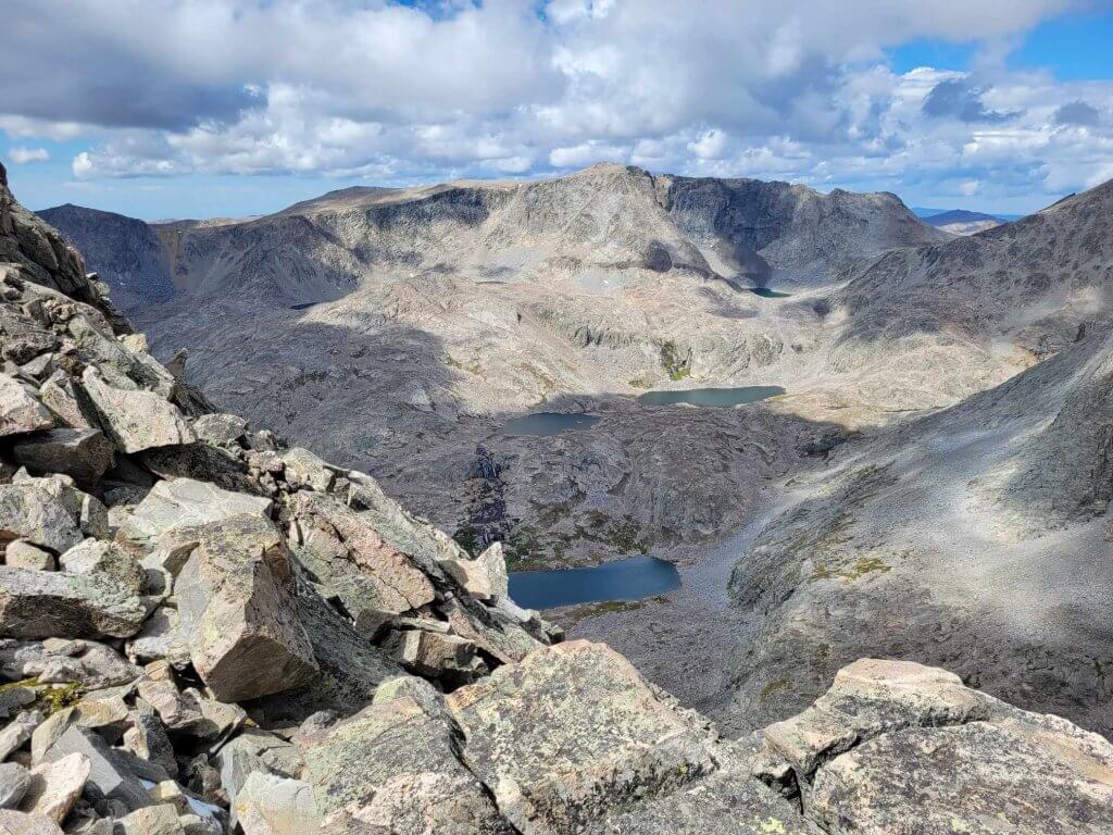
One of the top hiking destinations for skilled hikers, there are countless trails in the Bighorn Mountains, including the famous Solitude Loop Trail that covers 59.3 miles and is popular among those who spend multiple days in the mountains.
To find out more information about hiking experiences in the Bighorns, you can visit the USDA Forest Service.
More Buffalo Hiking Resources
For more information about the best ways to hike around Buffalo, WY, check out the following resources:
Outdoor Gear and Information
- Sports Lure, 66 S. Main St., Buffalo
Recommended Buffalo Hiking Books
- Hiking Wyoming’s Bighorn Mountains, by Ken Keffer (Falcon Guides, 2017)
- Hiking Wyoming’s Cloud Peak Wilderness, by Erik Molvar (Falcon Guides, 1999)
Buffalo Hiking Maps
Cloud Peak Wilderness Map (National Geographic Trails Illustrated Map)
